
New Delhi, Aug 2 (IANS) The digitisation of 99.79 per cent of the existing land records has been completed in the country, according to the government.
The digitisation of land records is playing an important role in shaping the future of agriculture. Under the Digital India Land Records Modernization Programme (DILRMP), the Department of Land Records is supporting states in digitising Record of Rights (RoR), spatial records (Cadastral Maps), and integrating them through dynamic updates.
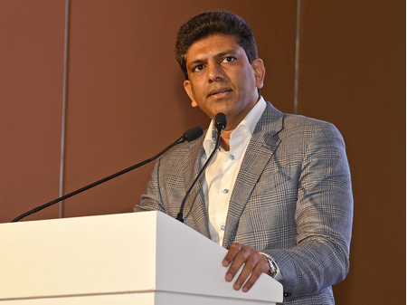
The continued convergence of digitized land records with agriculture-related initiatives like crop surveys and Agri Stack is expected to enhance transparency, efficiency, and evidence-based policy making in the agricultural sector, said Minister of State (MoS) for Rural Development, Pemmasani Chandra Sekhar, in the Parliament.
In order to make authentic first-hand information available to the Courts resulting in speedy disposal of cases and ultimately, reduction in land disputes, pilot test for linking of eCourts with land record was undertaken successfully by Department of Land Resources in three States namely, Haryana, Maharashtra and Uttar Pradesh in association with Department of Justice.
“Till now, 26 states/UTs have received necessary clearances from the concerned High Courts for integration of e-courts Application Software with the land records,” said the minister.
To address the problem of linguistic barriers in land governance of the country, the Department of Land Resources, with the technical support of Centre for Development of Advanced Computing (C-DAC), Pune, has undertaken initiative to transliterate the Records of Rights available in local language to any of the 22 Schedule VIII languages of the Constitution.
“Till date, 17 States/UTs — Assam, Bihar, Chandigarh, Chhattisgarh, Goa, Maharashtra, Madhya Pradesh, Manipur, Odisha, Gujarat, Haryana, Karnataka, Puducherry, Uttar Pradesh, Tripura, West Bengal, and UT of Jammu & Kashmir — have made their system enabled with transliteration software,” informed the minister.
Many states have undertaken the georeferencing of Cadastral Maps, which allows each agricultural plot to be precisely located on the map of India. These georeferenced maps are being leveraged in initiatives such as the Digital Crop Survey, where crop-related data is captured directly from the boundaries of agricultural plots by crop surveyors.
–IANS
na/
